Geopaparazzi is an application for fast field surveys. Its simplicity and the possibility to use it on as good as any android smartphone makes it a trusty field companion for engineers and geologists, but also for tourists who wish to keep a geodiary and any user that needs to be aware of his position even in offline mode.
In Geopaparazzi it is possible to create text, picture and sketch notes and place them on the map. Notes can also be complex and form based in order to standardize surveys in which many people need to be coordinated.
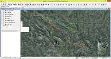
The data collected in the field can be exported as KMZ or