
Popularising GIS in Africa for Africa!
GISforAfrica is an exciting African GIS network doing important work. Our umbrella enables individuals and organisations to create responsible and sustainable solutions to problems at local and global scales. At GISforAfrica, we believe that GIS is at the driver seat of a more resilient and sustainable future. GISforAfrica works with those people and companies who have common interest in GIS, Economics, Trade and Education.
Our main initial needs are:
- Getting of team members
- Getting of funds and support (international and local)
- Getting Peoples attention
Our main lines of action are:
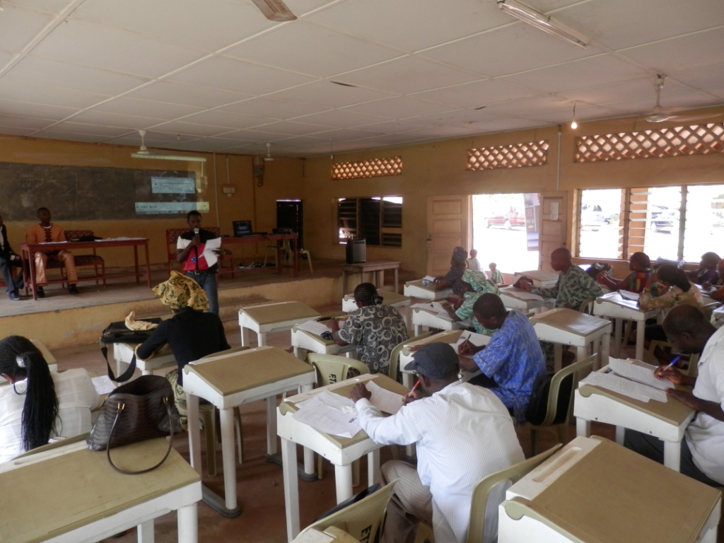
- A general awareness campaign (City Talk).
- An individual Contacts with important personels. (head of departments, lecturers, pastors, community leaders, business owners etc.)
- Reaching out for international supports.
- Training of team members.
- Infrastructural development.
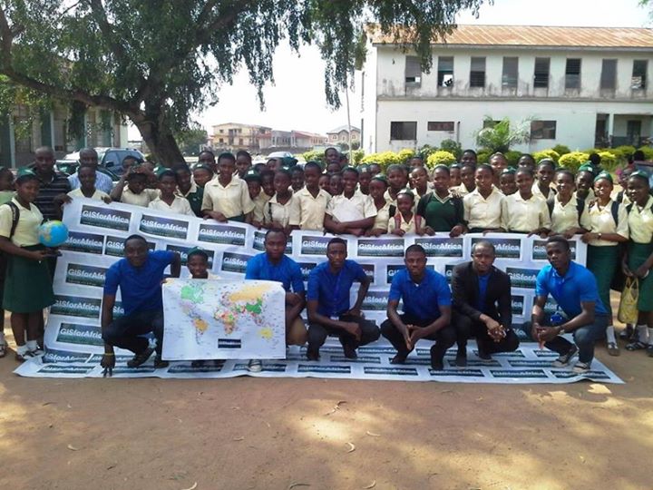
One of our most challenging project is #EduCONNECT, an initiative of GISforAfrica with the purpose of connecting GIS with education to academicians in both secondary and tertiary levels in Africa which is part of our goal “Creating a new effective generation of GIS oriented people” this time around, students.
We with our well calculated and well supported plans, we have been able to reach out to 29 secondary schools in Ibadan, Akure and Canada.
Programs such as Inclastutoring, Global Village Classroom, Vocation Direction and GISforAfrica Proj are to develop our team members from different parts of Africa to function adequately and explore our unlimited resources.
Onground and online tutoring, providing GIS training materials (Maps and Students Handout), Introducing students to GIS software and Hardware, GIS mini tour and practical. (Visit to GIS laboratory), Registration of students as members of GISforAfrica junior members. Thereby increasing and widening our coverage even into Cote d’Ivoire.
GISforAfrica EduCONNECT is also going to create platforms that gives birth to thriving GIS oriented ideas from the students that will help their immediate community through competition that will bring them close to the government.
There are challenges that include low funds, few GIS tutors and materials, General GIS illiteracy etc. but we believe with the right support soon all these challenges will be stepping stones.
We came across gvSIG online and checked out their open software gvSIG1.12. We fell in love with it and we believe we could introduce it to our members in Africa. Also we believe we can also work together in Education in Africa.
Goals of GISforAfrica
- Creating an African network of GIS software users, scholars and benefactors thereby creating an exciting GIS community.
- Using GIS to understand the problems in Africa( scale-wise ) and providing solution maps and models that solve economic and community problems in Africa.
- Creating a new effective generation of GIS oriented people; students, teachers, lecturers, businessmen, government workers, politicians etc.
- Creating platforms that gives birth to thriving GIS oriented ideas with positive visible effect on the economic and community development all around Africa.
- Direct and In-Direct Job creation and opportunity.