
gvSIG and geoprocessing in areas of sand mineration on river layers
Contact name:
Carlos Hartmann
Organization:
Universidade Federal do Rio Grande
Department:
Instituto de Oceanografia - Laboratório de Oceanografia Geológica
Sectors:
Software:
Situation:
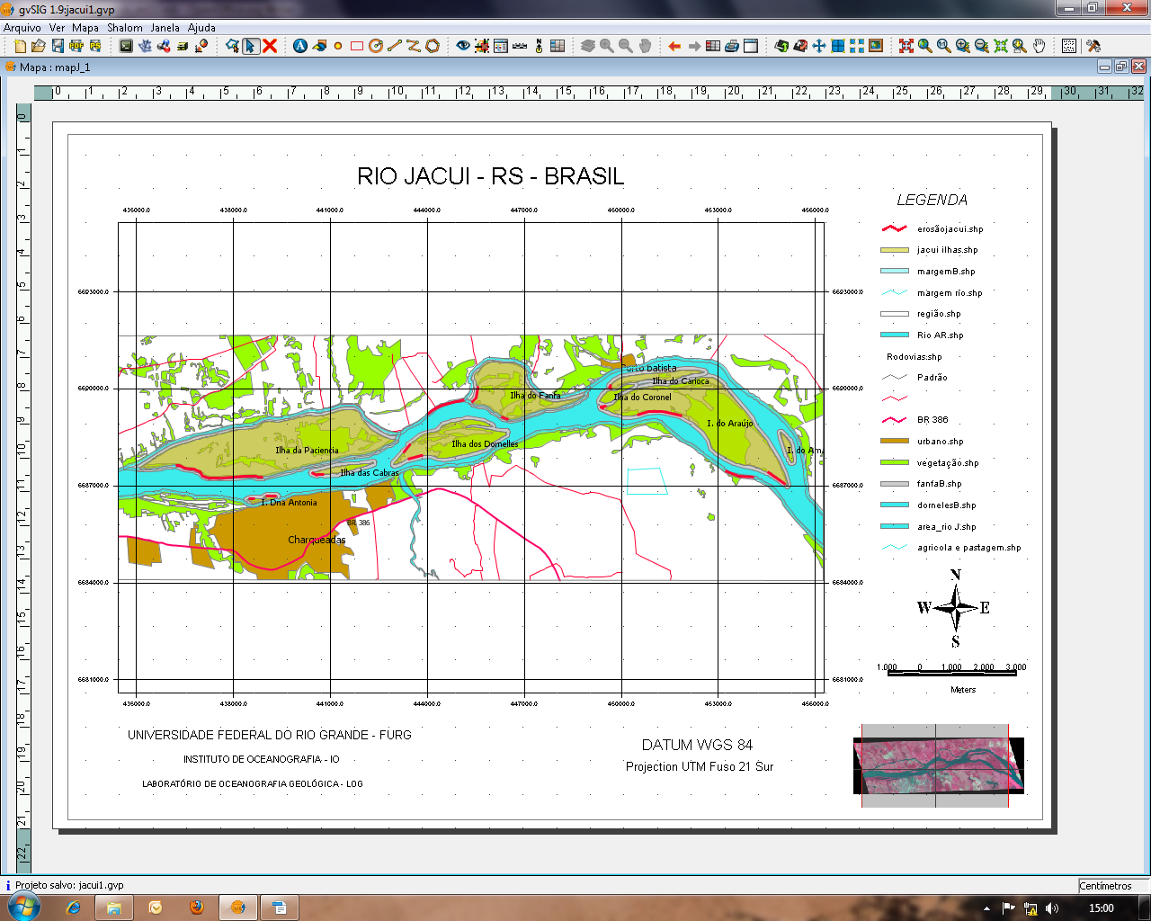
Use of geoprocessing through buffers and intersect tools, for the delimitation of not allowed areas to the dredging of sand in the stream bed of rivers (50 meters of the edge) and overlapping buffer limits.
Solution:
The gvSIG 1.9 offers all conditions and facilities to the management implementation of mine rivers areas with no costs included. It enables the organization of a database to facilitate the work with information and to obtain quickly answers to the company and public issues. The gvSIG allows information management, been an appropriate equipment on mine activities, enabling monitoring of the area and places around in real time.
Benefits:
- Definition of shoreline current limit, and localization of areas with erosive processes
- Current delimitation of the area defined by law (50m) using buffer geoprocessing
- Use of modern techniques of mapping, preparation and visualization, as support to the sand mining companies, respecting the current legislation.
Rate it!!: