
GEOGuide with gvSIG. Guide for technical studies for buildings
Contact name:
Amelia del Rey
Organization:
Valencian Institute of Building (IVE)
Sectors:
Software:
Situation:
In 2009 the IVE (Valencian Institute of Building) needed a GIS application in order to generate geotechnical reports for the construction of buildings.
Solution:
The company Prodevelop developed a personalized and simplified version of gvSIG. This application uses the data provided by the client such as: (land use, topography, DTM, seismic data, etc.) and sets the number and the location of the previous surveys to be done and other information of interest to Civil Engineers.
Some features are:
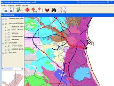
- Graphic viewer
- Layer Management (TOC) and symbols
- Project management
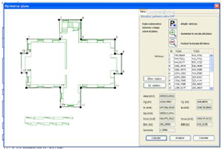
- Access to DXF drawing files to locate the survey
- Search for entities by attribute
- Identifying characteristics of a particular item
- Read / write documents in the FIDE (international standard)
Benefits:
- Improvement of the decision making processing taking into account different types of georeferenced information
- One user interface for sharing and capture of information
- A better and fast way of getting information about
- A better monitoring of surveys for Civil Engineers
- The possibility of read/write FIDE documents from a GIS tool
Rate it!!: