
Geographic Information System "City of Oncativo"
Contact name:
Ricardo Castro
Organization:
Villa María National University
Sectors:
Software:
Other software:
Situation:
Based on the multi used land registry criteria, it was necessary an information system that:
- Allows to access to urban land registry information
- Allows to differentiate urban and rural borders.
- Provides reorganization and public services information.
- Allows to negotiate correctly the territorial information in order to take decisions referred to planning and urban development .
- Allows to add social-economical information
Solution:
It was used gvSIG to:
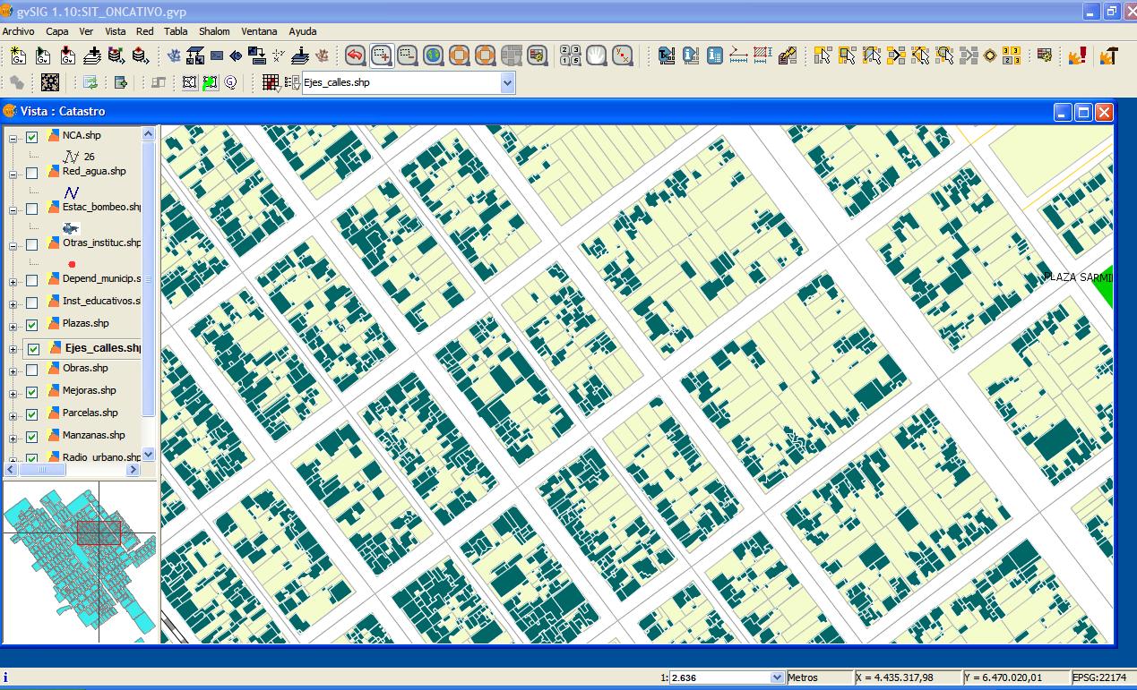
- Create digitalized urban land registry, where all blocks, plots, built surfaces, empty land roads and arteries where taken into consideration.
- gvSIG was linked to the Municipal Revenue Department database which allows to access to the tax system information of each plot.
- It was added information of educational establishments, public organisms and health organization.
This is a long-term Project which in a second stage it will include the Public Services Cooperative, with this it will have street lighting, power supply, drinking water, television nets services information linked to the Geographic Information System.
Benefits:
- Use of free software, that allowed to focus the cost of the Project to the essential part of it.
- Generate a project that can scale up with low costs, and friendly access to information for non spetialists.
- To Free participant organizations of the difficult payment of licenses that in the end provide the same results we got using gvSIG
Rate it!!: