
Bringing GIS to the masses using gvSIG – the use of free and open source GIS in community outreach at UNH Cooperative Extension
Communities throughout the state of New Hampshire desperately need GIS to improve community planning and natural resource management, but most balk at the high price of commercial software products. While ~10 towns in the state have full-time GIS staff, the 200+ other towns have little or no mapping capabilities in house. A capable, no-cost GIS software package is one of the only ways in which GIS has a chance to take root in these communities. Most towns in New Hampshire are unaware that free / open source GIS options exist. For the towns which have some knowledge in this area, they do not have the time nor inclination to conduct an object evaluation of the software options and feel comfortable choosing one to deploy. In addition, schools in New Hampshire have become increasingly interested in GIS, but many are concerned about site license requirements for commercial GIS companies. Also, many schools in the state use Mac OS X, and would like to use GIS software which runs natively on that operating system.
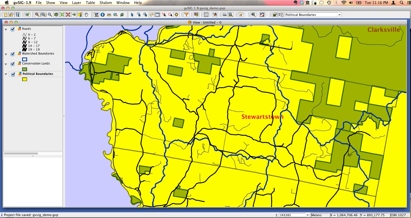
I developed a series of workshops to provide both general and applied knowledge on free and open source GIS options to New Hampshire towns and schools. The first 3-hour workshop, “GIS on Pennies a Day,” focused on briefly introducing GIS concepts, then outlined all of the available free mapping options (region-specific webmap sites, Google mapping, free/open GIS software). After a year, separate GIS workshops were evolved from this initial program, providing more details in each area. GIS 101: Learning to Map in the Digital age became the first in the series, providing a more complete background on GIS concepts, possibilities, and free mapping options. The brief hands-on portions of the initial Pennies a Day workshop were each expanded into their own stand-alone workshops. The workshop developed to focus on free/open source GIS software, GIS on Pennies a Day: Test Drive, provided a more complete explanation of the features of each GIS software package and allowed for basic hands-on exercises the options deemed most suitable for use in NH towns (including gvSIG).
The benefits of using full-featured, free and open source GIS such as gvSIG for our training program was clear – many New Hampshire towns and schools would never consider the use of an GIS software based on the price or compatibility, thereby immediately and permanently blocking these groups from the benefits of GIS. By introducing and providing hands-on experience with gvSIG and other free GIS software packages, towns and schools were able to understand the potential GIS had for use in their communities without having to worry about the cost of the software. Workshop participants could easily bring GIS back to their work, further exposing other staff, community members and students to the benefits of GIS. Ultimately, the use of free GIS software can increase the possibility that New Hampshire towns and schools might consider the use GIS, and if they choose to deploy GIS, would provide a free option. The increased awareness and application of GIS in New Hampshire towns would greatly benefits the citizens of the state through better community planning and natural resource management. A greater focus on GIS in New Hampshire schools would empower both teachers and students to think and learn in a spatial context.